GPS. What it is? Installation in smartphones, navigators, etc.
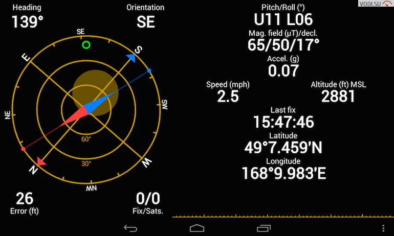
GPS is a satellite system that allows you to determine the exact location of a person or object. Its name stands for Global Positioning System, or, in Russian, the global positioning system. Today, probably everyone has heard about it, and many regularly use this service.
Principle of operation
The system of satellites, with the help of which the coordinates are determined, was called NAVSTAR. It consists of 24 five-meter 787-kilogram satellites that rotate in six orbits. The time of one revolution of the satellite is 12 hours. Each of them is equipped with a high-precision atomic clock, an encoding device and a powerful transmitter. In addition to satellites, ground correction stations operate in the system.

The principle of operation of the system is quite simple. For a better understanding, you need to imagine a plane with three points plotted on it, the location of which is precisely known. Knowing the distance from each of these points to the object (GPS receiver), you can calculate its coordinates. True, this is possible only if the points are not on the same straight line.
The geometric solution of the problem looks like this: around each point it is necessary to draw a circle with a radius equal to the distance from it to the object. The receiver location will be the point where all three circles intersect. In this way, you can determine the coordinates only in the horizontal plane. If you also want to know the height above sea level, then you need to use the fourth satellite. Then around each point you need to draw not a circle, but a sphere.
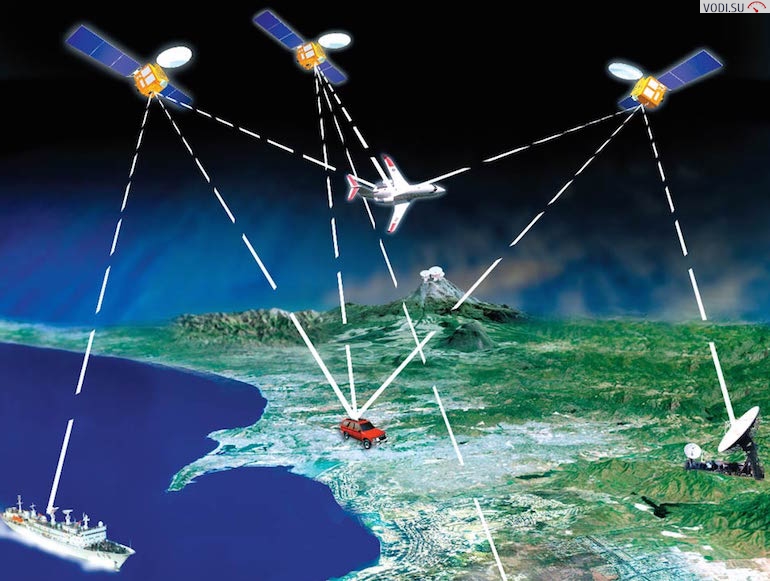
In the GPS system, this idea is put into practice. Each of the satellites, based on a set of parameters, determines its own coordinates and transmits them in the form of a signal. Processing signals simultaneously from four satellites, the GPS receiver determines the distance to each of them by the time delay, and based on these data, calculates its own coordinates.
Availability
Users do not have to pay for this service. It is enough to purchase a device capable of recognizing satellite signals. But do not forget that GPS was originally developed for the needs of the United States Army. Over time, it became publicly available, but the Pentagon reserved the right to restrict the use of the system at any time.
Receiver types
According to the type of performance, GPS receivers can be stand-alone or designed to be connected to other devices. Devices of the first type are called navigators. On our vodi.su portal, we have already reviewed popular models for 2015. Their exclusive purpose is navigation. In addition to the receiver itself, navigators also have a screen and a storage device onto which maps are loaded.
Devices of the second type are set-top boxes designed to connect to laptops or tablet computers. Their purchase is justified if the user already has a PDA. Modern models offer various connection options (for example, via Bluetooth or cable).
According to the scope, as well as the price, 4 groups of receivers can be distinguished:
- personal receivers (intended for individual use). They are small in size, may have various additional functions, in addition to the actual navigational ones (route calculation, e-mail, etc.), have a rubberized body, and have impact resistance;
- car receivers (installed in vehicles, transmit information to the dispatcher);
- marine receivers (with a specific set of functions: ultrasonic echo sounder, coastline maps, etc.);
- aviation receivers (used for piloting aircraft).
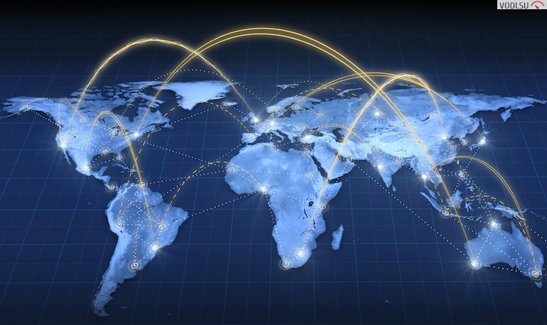
The GPS system is free to use, operates practically throughout the entire globe (except for the Arctic latitudes), and has high accuracy (technical capabilities allow reducing the error to a few centimeters). Due to these qualities, its popularity is very high. At the same time, there are alternative positioning systems (for example, our Russian GLONASS).
Loading…