How to Use Free Garmin Vector Map in TwoNav GPS
The OpenStreetMap-based mapping ecosystem is pretty thriving. On the other hand, it mainly targets the Garmin GPS family.
Thus, it is very easy to use the free funds cards. On the other hand, when we look at the TwoNav GPS and want to do the same, there is no suggestion.
Still want an OpenStreetMap topographic map on your TwoNav GPS? We'll explain how to get there and give you access to the automatic routing feature specific to vector maps.
Principle
The basemaps used by Garmin GPS are in vector format only. The advantage of TwoNav GPS devices is that they can display both raster maps (images), which Garmin does not, and vector maps such as Garmin.
The vector mapping format is different between the two brands, so you'll need to go through a file conversion process to take advantage of the Garmin Maps on TwoNav.
For this we will use the excellent TwoNav Land software, which has a free trial.
Procedure
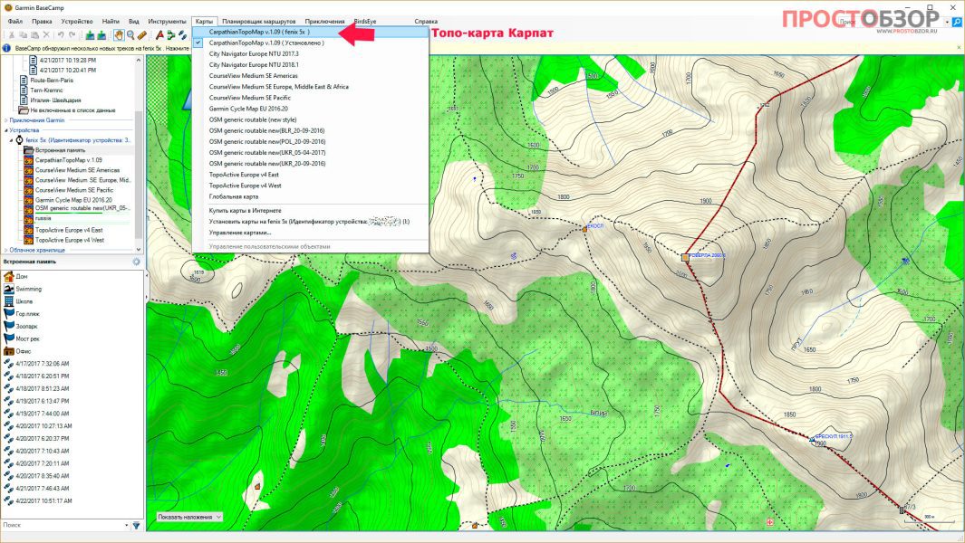
First, you must get a dedicated vector map for Garmin GPS.
Our article How to Find and Install Free Mountain Bike Maps for Garmin GPS? list the services where you can get vector tiles Free, based on OpenStreetMap.
We'll choose OpenMTBMap if desired.
We get the file, then install.
Please note that the download is significant, for France it is 1,8 GB.
Pay attention to the installation directory, there will be tileswhich are files in
Then we open the Land program, then open the map from the File menu. In the OpenMTBMap cartography installation directory, we will look for the mapsetc.img file. When opened, fills the screen with empty slabs (these are slab outlines).
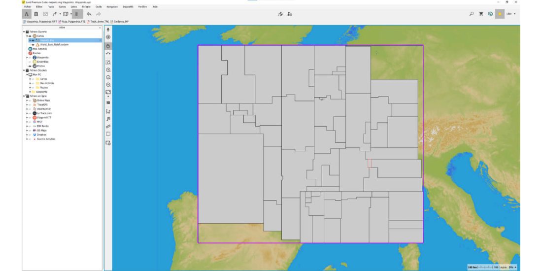
When you hover the mouse over the desired area and click, a pop-up window titled "Map Information" opens, indicating the file name. For example, card information: FR-Chambery ~ [0x1d]63910106.
We then go back to open the corresponding map file (in our example 63910106.img) and the tile opens in Land.
It takes time, because Land has to decode all the information in the file, you will have to wait several tens of seconds depending on the speed of your computer.
Once this slab is open, save it in the format included in the TwoNav GPS. mvpf format
Then all you have to do is transfer that basemap to TwoNav GPS and you're done.
Restrictions
- If you try the same procedure with Garmin Topo France mapping, the Land software will crash.
- You can try other free cards as well, the result is evaluated according to your needs. Doesn't work with some.