How to choose a navigator for a car
Residents of big cities, taxi drivers or truckers cannot imagine their car without a navigator.
There is also such a category of drivers who can easily do without it - residents of small towns and villages who know their town like five fingers and rarely leave it.
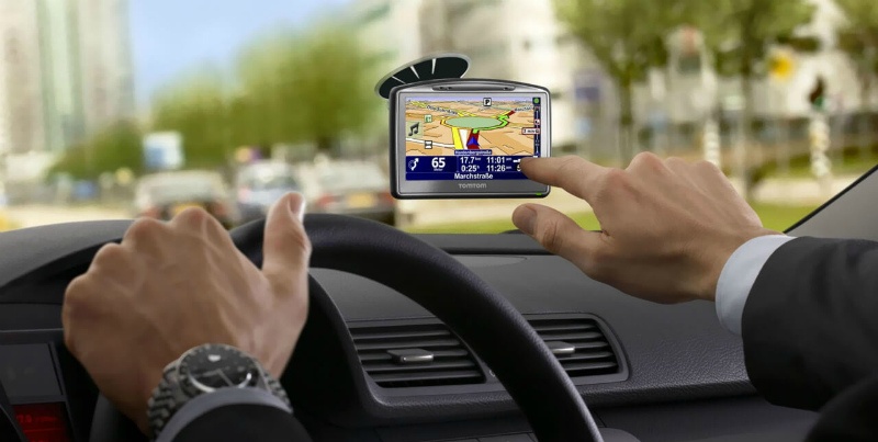
There is no need to talk about what a navigator is, with the help of this device you can easily find out where you are at the moment, what road you are moving on and whether there are traffic jams ahead.
The program can independently build a route, taking into account traffic jams and the quality of the road surface, you only need to specify the starting point and destination. This is very convenient for those who often travel to other cities - your route will be displayed on the map, voice guidance will tell you when you need to change lanes to make a turn.
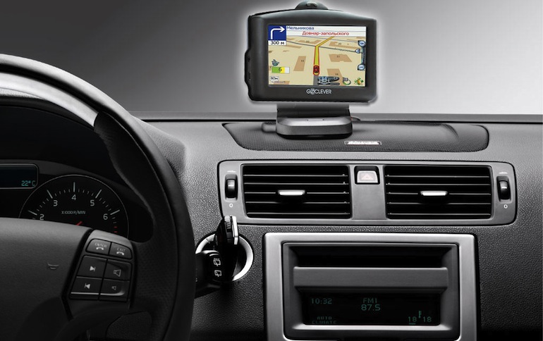
Now in any store you will be offered a very wide selection of navigators at a variety of prices. Many drivers use their mobile devices – smartphones and tablets – as a navigator. Navigation applications can be easily downloaded from AppleStore or Google Play. However, the navigator as a separate electronic device has better functionality, since it was originally created to determine the route and your coordinates in space.
Consider what you need to pay priority attention to in order to choose a good navigator that will help you find your way in any wilderness.
Choosing a geopositioning system
To date, there are two positioning systems: GPS and GLONASS. In Russia, navigators working with the GLONASS system - Lexand are being actively introduced. There are also two-system systems - GLONASS / GPS. Many other models of navigators, such as GARMIN eTrex, are also configured to receive signals from GLONASS satellites. There are GLONASS applications for smartphones.
The difference between GLONASS and GPS lies in the different trajectories of the movement of satellites in earth orbit, due to which GLONASS more accurately determines coordinates at high polar latitudes, although the difference can be literally 1-2 meters, which is not so important when driving around the city or on a country road .
GLONASS, like GPS, is received all over the world.
In stores, you may be offered navigators that are compatible with either only one of these systems, or with both. If you do not plan to go by your car somewhere to India or Equatorial Guinea, then GLONASS is quite suitable for you, there is no fundamental difference here.
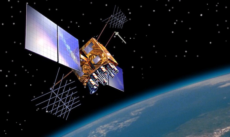
It is also important to remember that the navigator simultaneously receives signals from several satellites - at least 12, that is, there must be a separate dedicated channel for each satellite.
Good models can work with 60 channels simultaneously, since the same satellite signal can repeatedly bounce off different surfaces and uneven terrain. The more signals the receiver can process, the more accurately it will determine your location.
There is also such a thing as a cold or warm start of the navigator.
- A cold start is when, after a long shutdown (and if the device is cheap, then after a short shutdown), all information about your movement and location is completely deleted from the device’s memory. Accordingly, you need to wait some time until it is displayed again, that is, until the receiver contacts the satellites, processes the entire amount of data and displays them on the display.
- Warm start - the navigator loads much faster, quickly updates data on your current coordinates, because all information from satellites (almanac and ephemeris) remains in memory, and you only need to get a data update.
Technical characteristics of navigators
Like any other electronic device, the navigator has:
- antenna for receiving GPS signals;
- chipset - processor;
- internal and RAM;
- connector for connecting external media;
- display;
- operating system and navigation software.
Also, many manufacturers are trying to supplement navigators with various additional functions: MP3, MP4, video players, Fm-tuners and transmitters.
Processor power is an important factor, the higher it is, the more information the chipset can process.
Weaker models can freeze when flipping through the maps, and even worse, when they do not have time to show you the way in time - you have passed the turn for a long time, and a pleasant female voice belatedly suggests turning left.
The amount of memory and the connection of external media - this determines the amount of information that you can store.
You can download entire road atlases with an interactive display of the streets of almost any city in the world. Such atlases can take several hundred megabytes. Well, maybe during the rest you want to watch video clips or listen to songs - modern navigators have such functions.
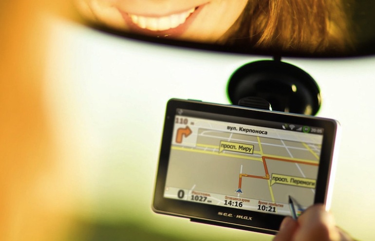
Display - the larger it is, the better the picture will be displayed, the more various details will be shown: maximum speed, road markings, signs, street names and shops. Too large a display will take up a lot of space on the dashboard and limit the view, the optimal size is 4-5 inches. Do not forget also about the display resolution, because the clarity of the image depends on it.
A separate topic is the operating system. The most common operating systems for navigators:
- Windows;
- Android.
- Windows is used on most navigators, it is characterized by the fact that it is suitable for technically weaker devices.
- Android is popular for its simple interface and the ability to download extremely detailed Google Maps and Yandex Maps. There are also a number of non-operational navigators on which you can install any licensed or unlicensed software.
Navigation software: Navitel, Garmin, Autosputnik, ProGorod, CityGuide.
For Russia and the CIS, the most common is Navitel.
Garmin is American software, although detailed maps of Russian cities can be downloaded and kept up to date.
Yandex.Navigator is recognized as one of the best navigators for smartphones in Russia - this application can be used both on smartphones and on GPS receivers.
Many receiver manufacturers create their own detailed navigation programs.
Summarizing all of the above, we can say that a navigator with the characteristics of an average smartphone: dual core processor, 512MB-1GB RAM, Android OS - will serve you well and help you in any city in the world.
Video with professional advice on choosing a car GPS / GLONASS navigator.
Loading…